Tracing and Tracking Epidemics

Why and how to map epidemics? Transportation network, buildings, greencover and all physical infrastructure can be mapped.. but how epidemics?

We were a class of 13 for our 2018 Master’s course in Urban Planning. Even now, after all these 27 years, we manage an active social media group. Everyone started applauding when Keso, one of our classmate shared the glad tidings of her appointment as an expert consultant in ‘Pandemics and Public Health’ wing of UN.

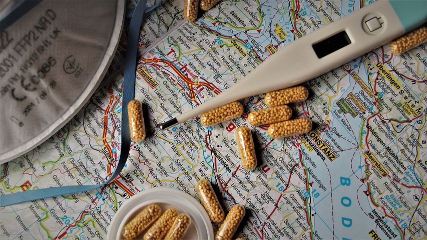
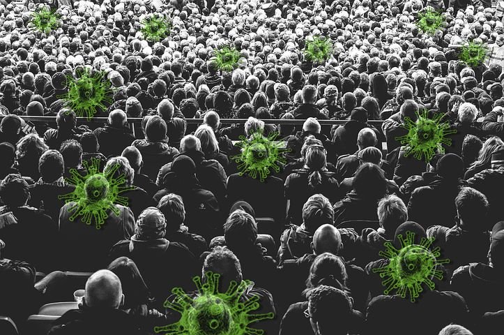
The role of an Urban Planner in health sector is one of the frequently asked questions. 25 years back is when Covid 19, the Corona virus became the reason for a global emergency with life and economy taking a serious hit. A major breakthrough to control the spread of the pandemic was made possible through enactment of contact tracking and tracing, jointly by Apple and Google.

Contact tracking is basically to track people those who came in contact with a person infected by corona virus. The smartphone signals were used to quickly and automatically track all the people interacted with the infected ones and alert for medical aid. Subsequently, those who had interacted in the ensuing days were identified through tracing. Spatial mapping of locations preceding the preparation of route map of infected people points out the possible hotspots of an outbreak and regions at risk.

State emergency was declared and medical attention was strengthened in many such regions which prevented major virus outbreak. Keso was associated with the Disaster Management Authority during this period and got involved in the team of contact tracing and mapping. An urban planner is also a social service worker, in a way.

It was probably in 1854, during the major cholera outbreak in London when epidemics and mapping were effectively knit together for the first time. The deaths from cholera was mapped by John Snow and was observed that most of them had a water pump in Broad street as their water source. It was found out that the water from this pump was contaminated by an underground sewage tank. At that times, it was believed that cholera was transmitted through foul air until the real reason was unveiled.

Spatial mapping of epidemics help observe and analyse space wise distribution of activities. Urban planning always have an incredible importance as it is capable of impacting the world and as every responsible urban planners, Keso will also proudly continue contributing to world’s transformation.

Reference https://www.google.com/amp/s/www.planetizen.com/news/2017/11/95755-1854-map-transformed-public-health-urban-areas%3famp https://www.bbc.com/news/amp/technology-52246319

Image courtesy: https://pixabay.com/images

Responsible Tourism and Irresponsible Tirou.

So how’s your project on Responsible Tourism progressing?” I tried to provoke the environmental activist in Tirou. Tirou being a civil engineer, was always captivated by green ideology. Passionate engineer then successfully accomplished his dream and is now Sweden’s leading consultant in Environmental Science, associated with study of environment and scientific solutions for environmental concerns.

Hey Pikachu, don’t make fun of my project. Responsible Tourism is aimed at irresponsible people like me and you“, he poked fun at me. Excessive growth of footfall adds burden to a tourist destination and results in various environmental consequences. A remarkable example is of the Great Barrier Reef, world’s largest coral reef system stretching over 3,44,400 square kilometers off the coast of Queensland, Australia. Being one of the world’s seven natural wonders, the Great Barrier Reef attracts tourists around the globe with the dive to clear waters and breathtaking marine life.

Marine pollution, over fishing and global warming adversely affected the coral system. Coral bleaching caused by the heating up of ocean due to global warming had made the corals bleach and die. Hence the destination remained closed until around 2030 for it to replenish.

Through effective measures of responsible tourism and by being a responsible tourist who could have safeguarded it’s natural environment and ecology, we exploited it as it was reeling about $6 billion annually. Fortunately the goal to halt and reverse the decline of species and health of reef ecosystem was attained by dedicated efforts and the same was visited by me and my pal Vishanth, last year.

Behind Tirou, I noticed Misty playing with something. Misty is one of Tirou’s pet dog and Missy’s youngest child. “Is that a drone what Misty is playing with?” I asked.
Yeah, a latest underwater drone specially designed to carry out multiple tasks such as to explore marine life, monitor environmental conditions, repair the submarine communication cables which connects the continents or even to execute major rescue missions“, Tirou explained.


I unveiled my disappointment, “Ohh.. I had higher expectations on future UAV’s (Unmanned Aerial Vehicles). But I must say, USV’s (Unmanned Surface Vehicles) or the so called underwater drones with it’s control system and navigation technologies has now surpassed my expectations“.

Tirou who was waiting for a chance to throw his punch dialogue at me, ” How can it not surpass! It’s people like me who are working on it. You know what ‘T’ in ‘Tirou’ stands for? Tremendous!”
I thought it’s ‘terrible’!”, my punchline splashed a mischievous smile on Tirou’s face.

Reference: https://www.wwf.org.au/what-we-do/oceans/great-barrier-reef#gs.37owgq Image courtesy: https://pixabay.com/images/search/great%20barrier%20reef/